Introduction
The National Trails website describes the
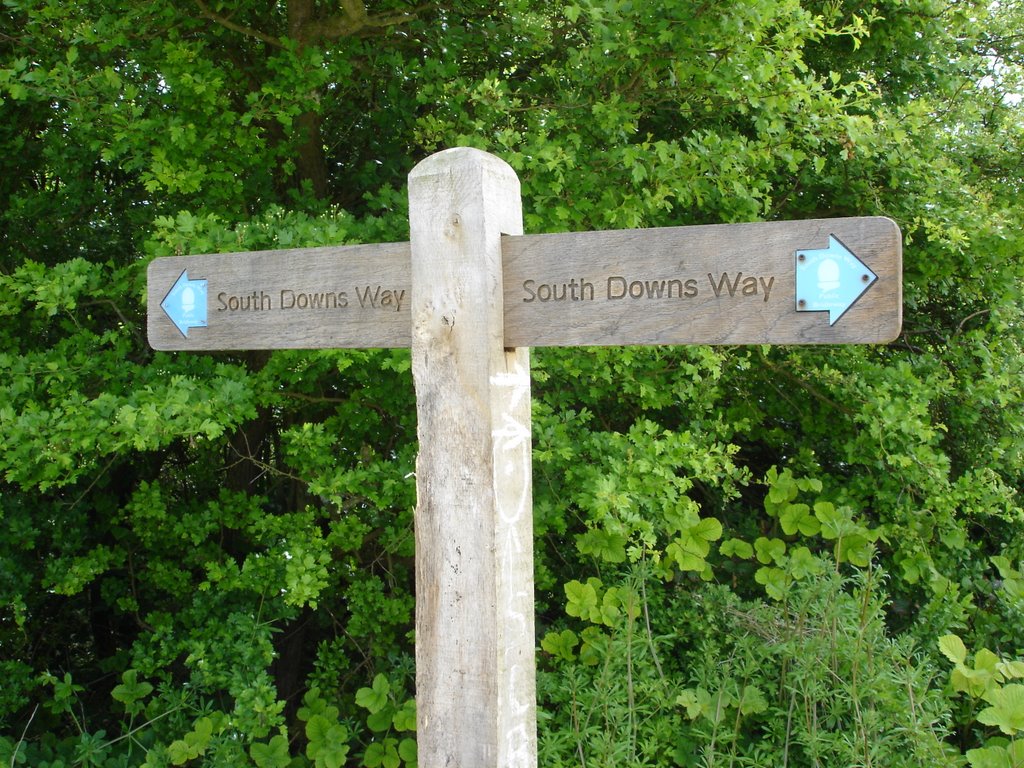
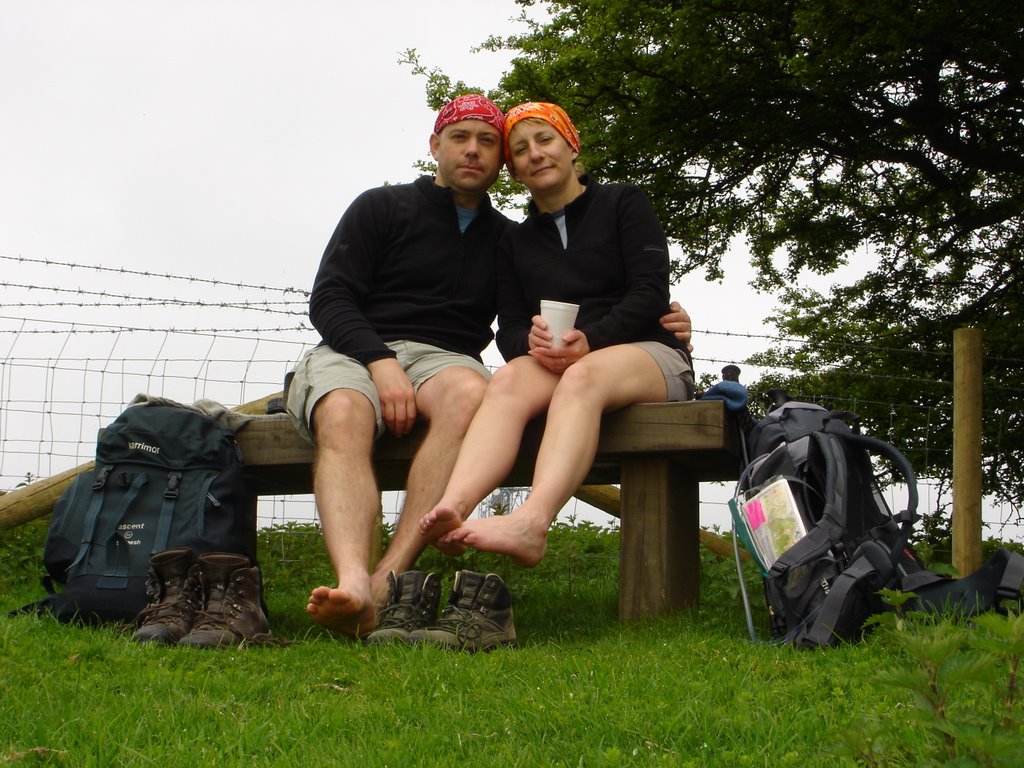
South Downs Way thus "The 160 kilometer long South Downs Way follows the old routes and droveways along the chalk escarpment and ridges of the South Downs". For us it provided the inspiration for a budget holiday without having to travel too far from home. We also felt we should have a reasonably environmentally sustainable break, rather than our usual habit of using tonnes of jet fuel flying to the Middle East for our dose of the sub-aquatic outdoors. We got a taxi to Fareham where we boarded a train to Winchester and the start our 100-mile adventure...
Day 1: Winchester to Exton (13 miles)
Saturday 13th May 2006

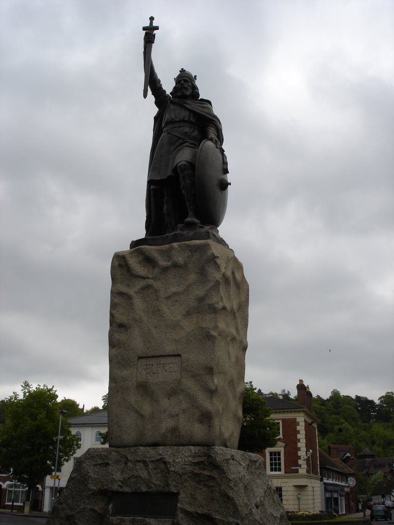
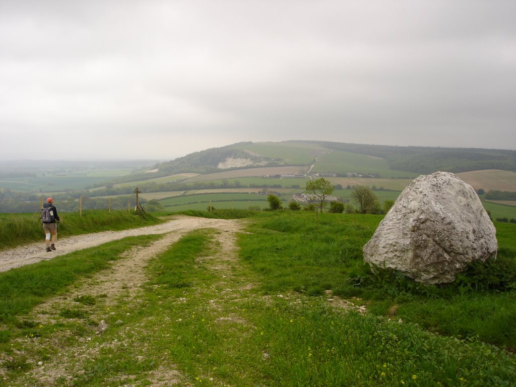
The day started a little overcast and trudging through the city centre, getting odd looks from the shoppers in Winchester, and with packs that felt decidedly heavier than we expected, we wondered whether we were doing the right thing. However, once we had passed the two alternative start points - the statue of King Alfred (
Left) and the National Trust watermill - with the weather steadily improving all day and we soon started ticking off several species of butterfly (red admiral, small white, orange tip, brimstone), hearing the call of a cuckoo and settling in to life on the track. The first part of the day included the climb up and over Cheesefoot Head before lunch, then the steady climb for most of the day towards the hills above Exton. We broke our journey at around 3pm in the
Milburys pub to admire the treadmill and the 300ft well before pressing on.
We arrived at Exton at around 6pm, and on to Meonstoke and our bed for the nights at the
Buck's Head, just in time to watch the second half of extra time in the FA Cup Final on the TV in the bar (which had been somewhat invaded by guests from a wedding in the village). Liverpool beat West Ham on penalties 4-2 which seemed a good omen for the week as this is where (for a change) BOTH our sympathies lay.
 A Brimstone butterfly
After a bath and a freshen-up we wandered weary-legged to the Shoe Inn at Exton, an old favorite, for dinner. We both had lamb shanks which were superb but realised that if we spent £50 on dinner and £65 on a B&B every day then it wouldn't end up the budget break we were hoping for! Needless to say we slept very well after hobbling back to the Bucks, not even stopping in the bar for last orders...
Day 2: Exton to Buriton (12.5 miles)Sunday 14th May 2006We had walked most of this route in training the week before therefore, knowing what we were in for, it was with some trepidation that we set off. The back-packs wouldn't settle comfortably and our stiff muscles, joints, rucksack rashes, insect bites and sunburn complained as we started to punish them for a second day. The conditions were perfect though - a little overcast - as we set off up
Old Winchester Hill. It was a little misty on top but since this is one of our local haunts we were not too disappointed to miss out on the fine views that can be had from this vantage point on a clear day.

The sun burnt off the mist as we descended into the Meon Valley, dodging the mountain bikers involved with some form of trans-Down event. Once into the valley we happened upon the
Meon Springs Fly Fishing Centre (
above). A mug of cheap tea, a muffin and a lesson on the vagaries of rods, lines and flies (the 'Rubber Daddy' being our favorite) from a couple of the friendly fisherfolk in the hut and we were ready for the ascent of Salts Hill. At the summit we dropped in on the
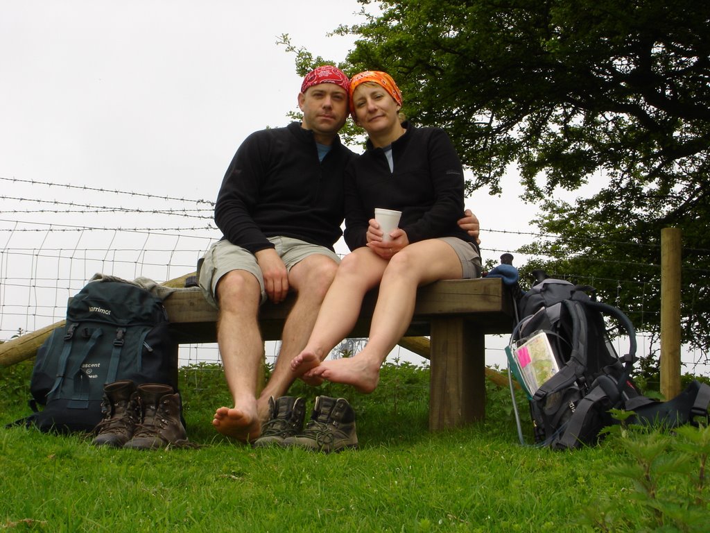
Sustainability Centre cafe for a cuppa and a flapjack (feeling smug rather than threatened by the resident hippies, on account of us having such an environmentally friendly holiday). Yet another cup of tea and a foot-airing (
below) at the top of Butser Hill before the last push (via the
Queen Elizabeth Country Park visitors centre for a can of pop) up and over to Buriton and the Master Robert Inn.

We were relieved that the bar was open, arriving as we did at 6pm on Sunday night. We got talking to Reg McGowan, a retired IT worker from Northern Ireland walking the Downs from Eastbourne, who was great company. Special mention should also be given to the welcome we received from the landlord/lady, Tim and Pauline who certainly operate above and beyond the call of duty - catering for us, and Reg (non-resident) and 6 blokes (non-resident) cycling the Way when they did not advertise meals on a Sunday. It is a shame that they have picked up a tarnished reputation based on internet reviews from the previous owner's tenancy which they are unable to delete. Let it be said here that The Master Robert offered exceptional value for money and their packed lunch was the most splendid of the whole week. The atmosphere in the Way-doing crowd-filled bar was fantastic, and they even had a cribbage board for us to have a quick after-dinner game before bed!
Day 3: Buriton to Cocking (11 miles)
Monday 15th May 2006

We woke up to our first wet day, and an opportunity try out our new GoreTex PacLite jackets and waterproof trousers as we scrambled back up the escarpment to join the trail at about 10am. Once back on the ridge the weather slowly cleared and after a soggy break for a muffin (
above) the sun came back out again. While most of our aches and pains seem to have eased up after our second day the progressive uphill slog across Harting Down, Beacon Hill and the Devil's Jumps seemed to sap our energy. Although this was our shortest leg so far it seemed the hardest yet.
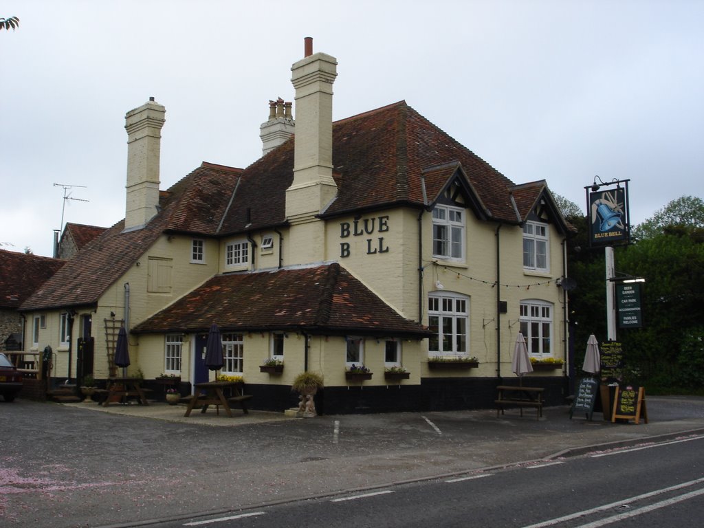
The views across South Harting and  Eastwards on our descent into Cocking were very rewarding. We also got nice views of yellow- hammer, several species of butterfly and even ran into a slow worm (left). We arrived at Moonlight Cottage and our first package of clean clothes at around 4.30pm . After a wash and brush-up we headed to the Blue Bell Inn for a basic meal and a pint. At around 8.30pm we were joined by the cycling contingent of the TCA who had modified their regular night and route to check up on our progress. After a pint and a chat the cyclists headed off into the night, lights blazing; the walkers headed for bed.
Below: Cyclists and walkers unite
(Left to right: Al; Matt; Tee, Jon, Ade)

Day 4: Cocking to Washington (18 miles)
Tuesday 16th May 2006

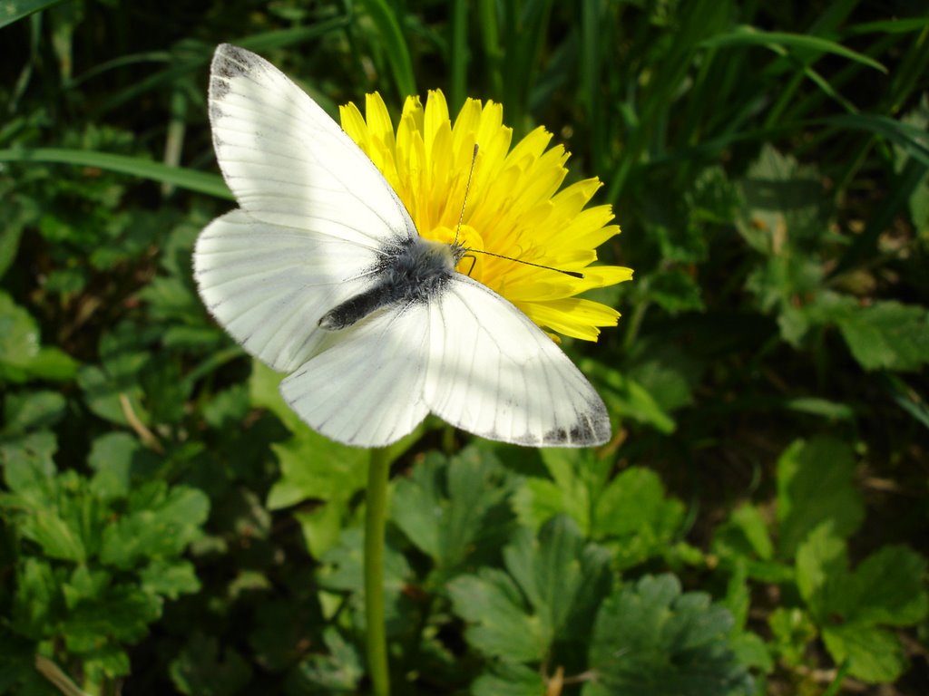
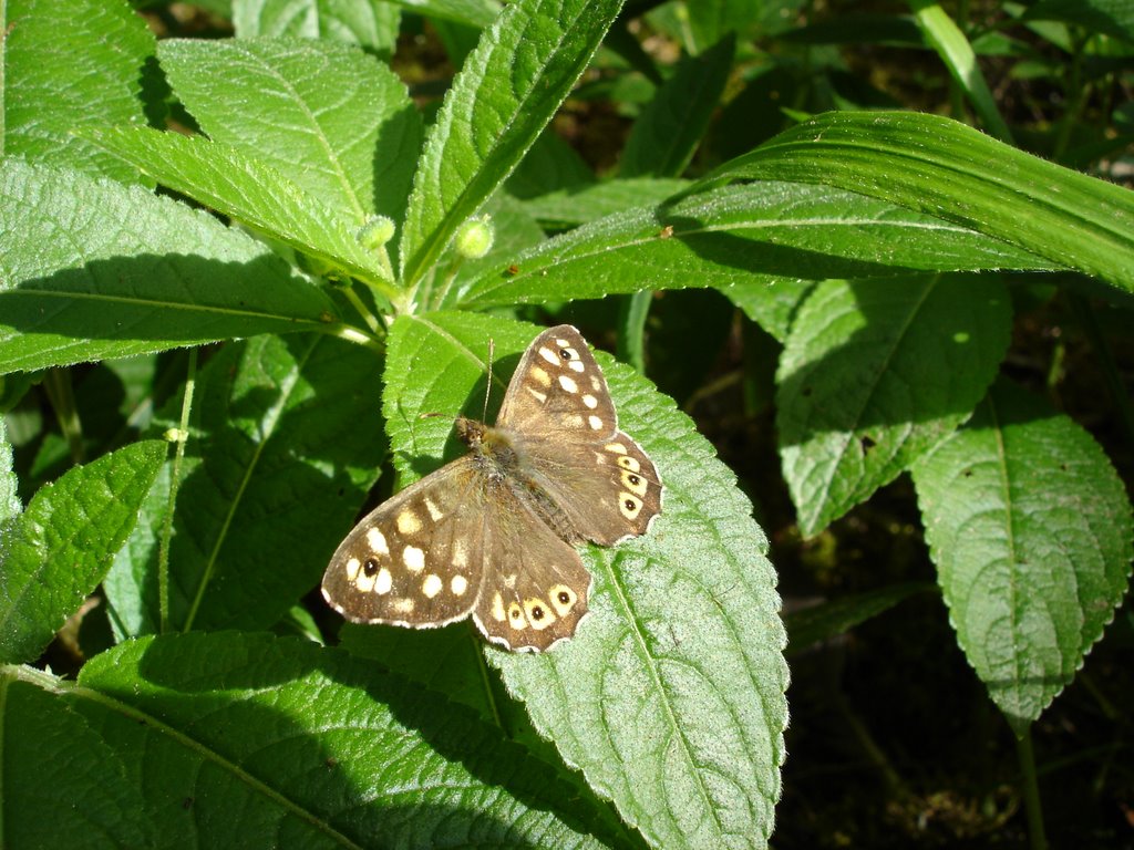
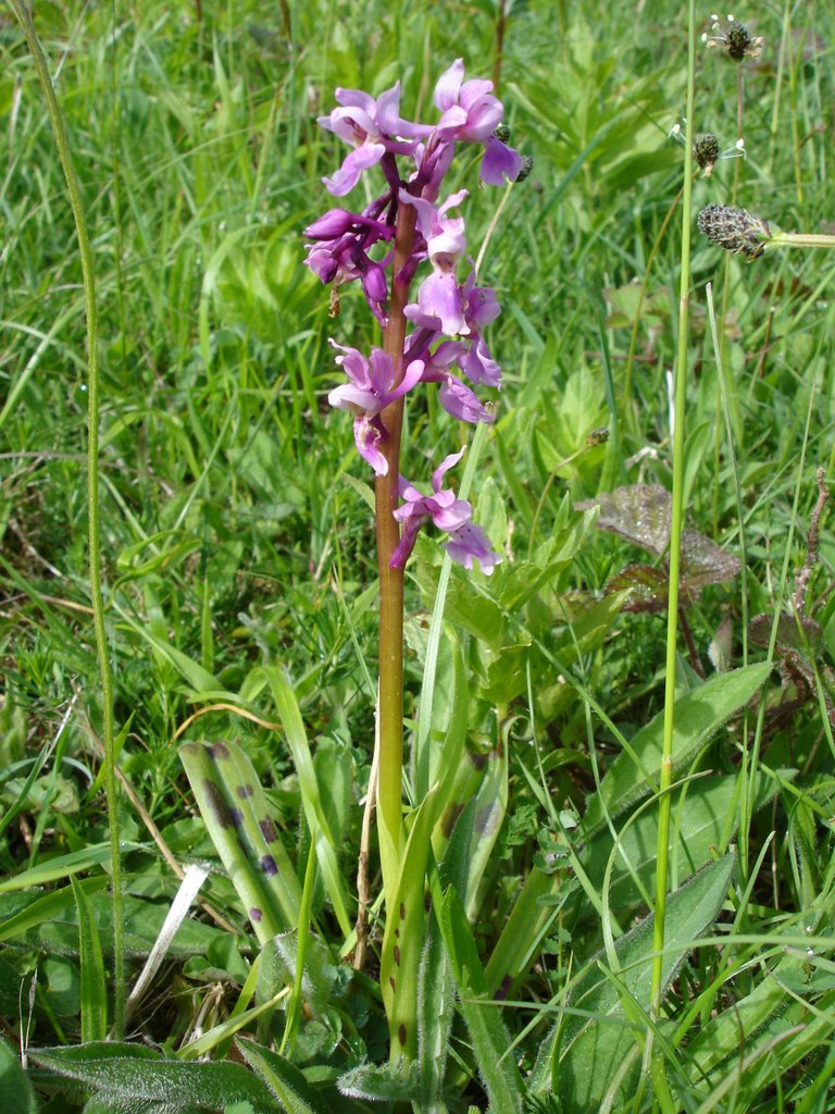
We woke early and left at 8.15 after a fine breakfast at the Moonlight Cottage tea room. Despite how we felt on Monday it seemed that a shorter leg the day before seemed to aid our recovery and we were eager to tackle our longest stint of the walk. The weather was warm, bright and sunny as we climbed steadily out of the village to join the path. The ridge walk along Graffam down was really pleasant and seemed to be loaded with butterfies and orchids (above: Large White, below: Speckled Wood , bottom: Early Purple Orchid) . The swallows and yellowhammers were also about again.
 At 10.30 we stopped for our usual mid-morning break and a slice of the best cake of the trip, Moonlight Cottage Sussex Fruit cake (which is apparently laced with cider), at Woolvington Down. With Reg's advice for long sections - "hit half-way before lunch" - ringing in our ears we pressed on, down from the ridge and up over Bignor Hill for the second of today's three-sectioned ridge walk. We stopped for lunch on 10 miles, above Houghton, just after crossing the A29 and just as the forecasted rain started. The rain got steadily heavier as we descended into Houghton Bridge and into the coffee shop for tea and cake, to refill the hydration pack, change into full wet-weather gear and wait for the rain to ease (fat chance!).
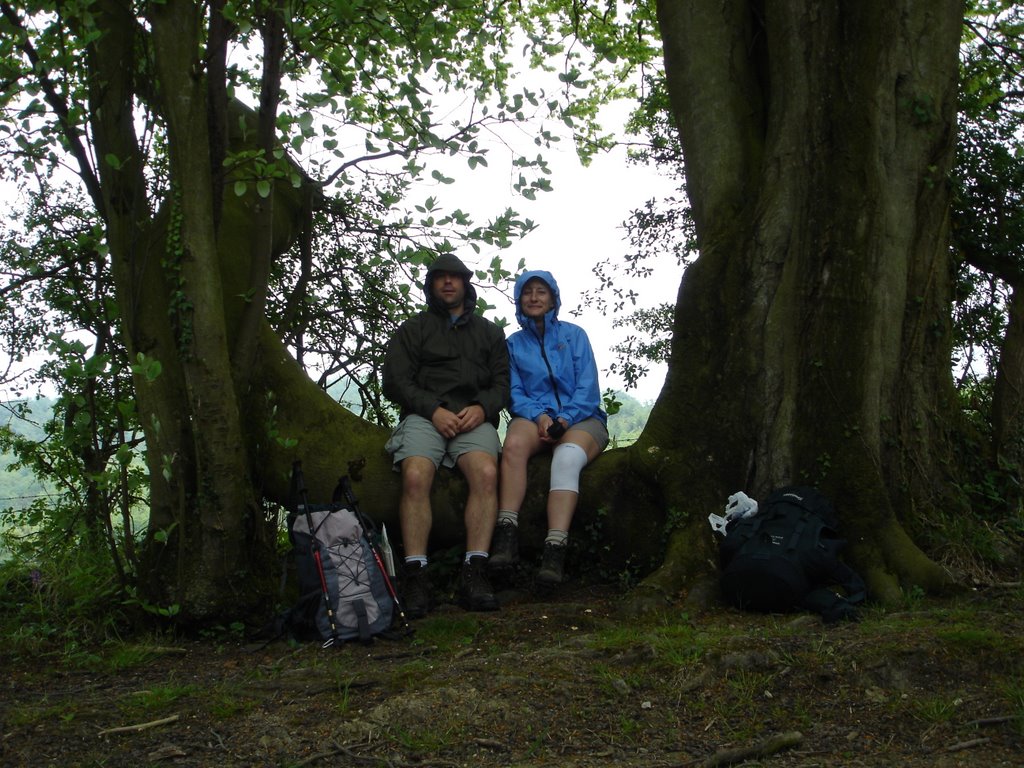
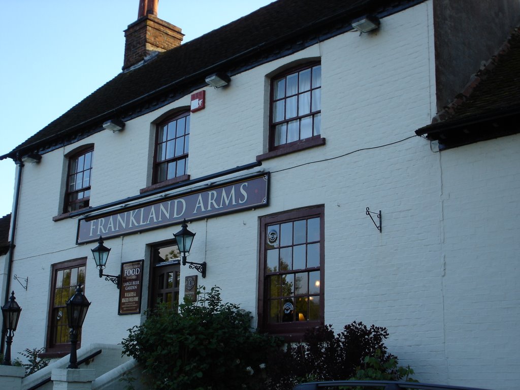
 It poured with rain all afternoon for our third section taking in Rackam, Springhead and Kithurst Hills but our spirits remained high, primarily because we ran into a succession of ill-prepared twitchers and hikers, soaked to the skin in cheap waterproofs (or no waterproofs!), some wearing shorts, who were moaning about the accuracy of the weather forecast and had obviously long since lost their sense of humour. Our new gear on the other hand held up a treat and we arrived in Washington's Long Island B&B at 6.30pm, shattered but ultimately warm and dry. Dinner at the Frankland Arms was very good but we didn't really do the 'fuel' any justice - we would have eaten anything we were so hungry! We opted for an early night ahead of our second longest leg the following day.
Day 5: Washington to Clayton (17 miles)
Wednesday 17th May 2006
Breakfast was cooked by Tony at Long Island as Mary looked on nervously, her recent foot operation deeming her only fit for supervisory duties. Tony, it has to be said, cooked a cracking breakfast (although he did burn the grill pan) and Mary entertained us with tales of their son in Perth, Australia and her diatribe on how this country had gone to the dogs (they are hoping to move to the Costa del Sol shortly). Jude, their German shepherd dog, looked on as if he had heard it all before. The freshly squeezed fruit medley was a definite hit and I'm sure we could have been chatting all day had we not bigger fish to fry; we eventually set off out of the village and up into the mist at 8.30.
 Frustratingly the mist got thicker as we climbed towards an area which the guide book describes as '..one of the great viewpoints of the South Downs', we obviously could not verify this. We did spot a fledgling chaffinch in the undergrowth on the way up though (above). The mist was also convenient for a bio-break in such an exposed place. We then referred to the guidebook again which made us question the wisdom of using Chantonbury Ring as a toilet: "...known for it's folklore, tales of witchcraft, fairies and other mysterious goings-on... said to be haunted". I expect our actions have brought a curse on us forever.
After an hour-or-so we had our customery mid-morning cake stop (home made fruit cake again!) we were caught up by a couple of all-action Ray Mears types who were obviously highly experienced back-packers, wearing as they were huge (home made, extra light) rucksacks with all their kit for staying out in the open. For once I was glad that we didn't have Billy-Bob with us, since he would have kept us there all day discussing how few ounces various bits of kit weighed and the comparative merits of proprietary breathable waterproof fabrics, etc, etc. They did however recommend the round Isle of Wight walk as our next venture before disappearing once again into the mist.
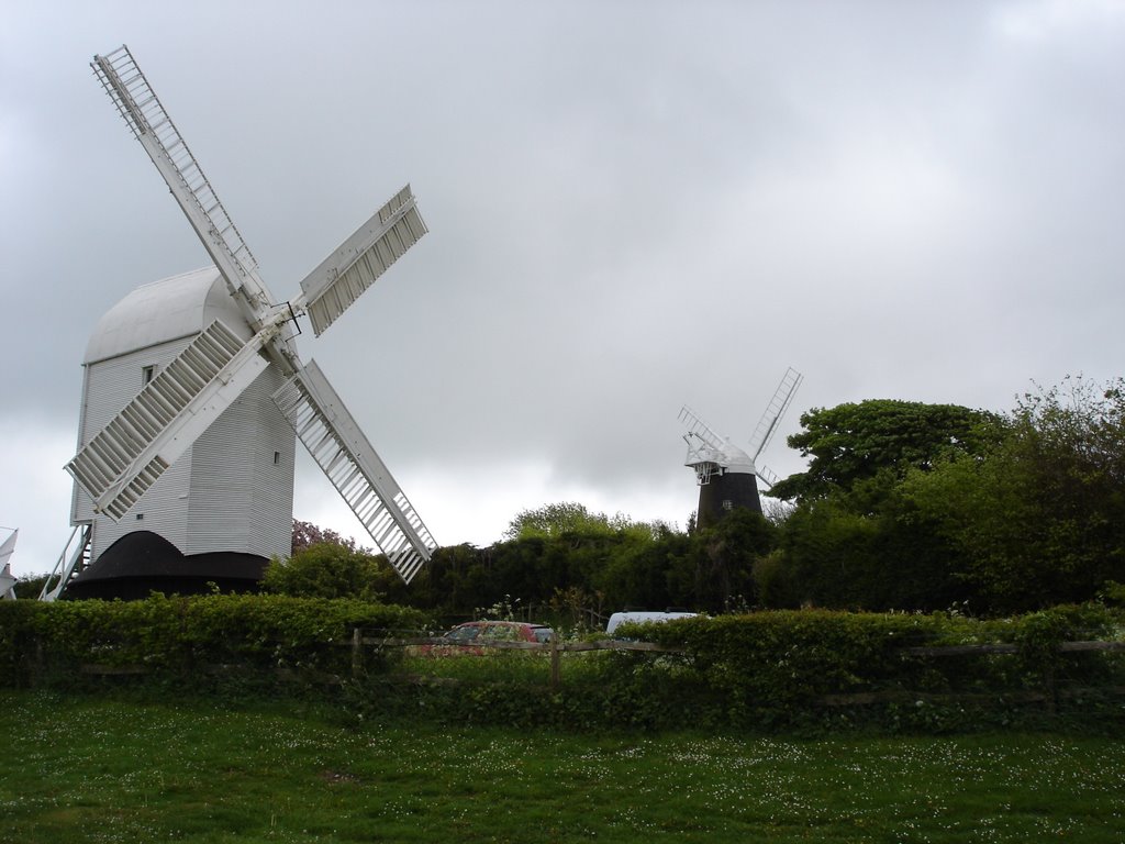
 With no convenient pub or cafe to have a lunch break we pressed on over the river Adur (where the South Downs intersects the Downs Link, which Jon and I had cycled just a few weeks before) and on to the YHA on Truleigh Hill. We pressed on after lunch (with a brief re-tracing of steps to recover Tee's lost glove) as the wind picked up. The afternoon was quite tiring as the terrain undulated over Devil's Dyke and West Hill, where we got our first distant visual fix on the Jack and Jill windmills (above) which marked our destination. The descent into Pycombe and up the hill through the golf course seemed to take forever and we were exhausted by the time we finally made it to Dower Cottage as the rain started to fall again.
Due to general fatigue and deteriorating weather we tooks the poof's option of a taxi to the Jack and Jill Inn for dinner, wolfed our dinner down and made it back by taxi just in time to see Arsenal concede their second goal and forfeit the European Cup final 2-1 to Barcelona before bedding down.
Day 6: Clayton to Kingston Ridge (11 miles)
Thursday 18th May 2006
After getting our two 'long' days out of the way we felt we could afford a later start and a relaxed breakfast at 8.30 watching pheasants in the garden and birds feeding on the nuts outside the kitchen window. We chatted to our fellow residents, a retired vet and his wife, and somehow managed to wangle a lift back to the windmills where we left the Way. We were both suffering some minor aches and pains by the end of the previous day so we jumped at the chance to avoid the steep climb back up to the ridge. The day therefore started with a more sedate amble up to Ditchling Beacon on an overcast, windy but clear day, affording magnificent views to the north. We celebrated the sight of our first ice cream van with two 99s at the Beacon, had a further break in a grassy hollow out of the wind and had lunch as we started the gradual decent towards Lewes. Over lunch we realised that we had strayed from the path somewhat as the contours on the map did not match the section of the Way that we thought we were following. A quick look at the GPS revealed that we were only 300m out of our way and the issue was easily resolved by reversing our steps for a few minutes; we were obviously getting a little blase with the map-reading now that we were seasoned trekkers with 6 days under our belts!
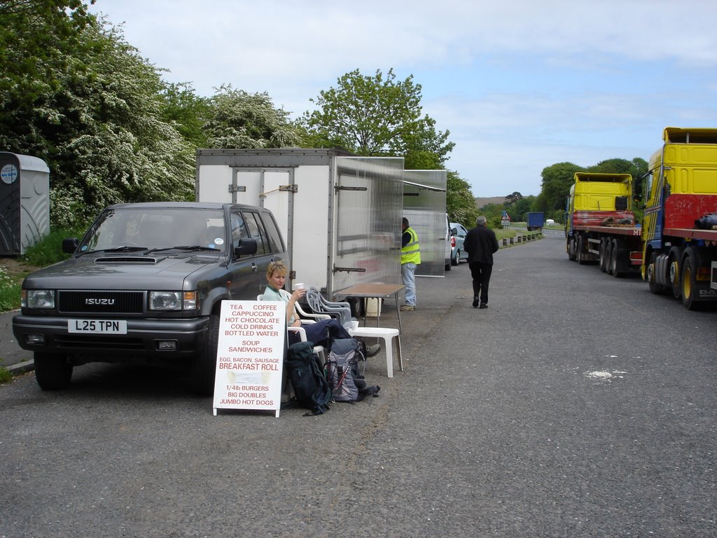
 The path decended to Lewes and intersected the main A277 where we happened upon and a burger van in a lay-by. No holiday should be devoid of a bit of romance so we treated ourselves to a mug of tea in a polystyrene cup with a slice of jam-and-synthetic-cream Swiss roll amongst the flat-bed trucks and white vans (above). We then climbed the ridge for the final time that day, before picking up Juggs Road leading to Kingston Ridge (apparently 'juggs' were baskets used for carrying fish from Brighton to market in Lewes). While the wind seemed to be picking up the skys had cleared and the weather was glorious by the time we got to the section of the path above Kingston and Lewes (below). We finally arrived at Bethel around 16:00 feeling very relaxed after a pretty much laid-back day.
 Once installed at Bethel we chatted to John and Lynda, a retired couple from Yorkshire two days into the walk in the opposite direction to us. Within an hour, over a cup of tea and a slice of lemon drizzle cake, we had covered a variety of topics: fresh clothing strategies; our favourite technical bits of kit; the relative merits of the various South Downs maps and guidebooks; a comparison of our routes; recommendations for dinner; a critique of the various places we had already stayed; digital photography; our bird/butterfly lists; physiology of the long-distance walker; routes we hoped to do in the future; essential toiletries, etc, etc. We then made our separate ways to The Juggs in Kingston which was a real treat. We had the chef's special home-made Sri Lankan curry which was super-hot and we worked our way down the list of fine offerings from Shepherd Neame ales. After dinner we resumed our discussions with John and Lynda who eventually left the pub a little earlier than us. By the time we had finished our pint of Bishop's Finger it was getting dark and we got some nice views of bats flitting around the nearby churchyard.
Day 7: Kingston Ridge to Alfriston (11.5 miles)
Friday 19th May 2006
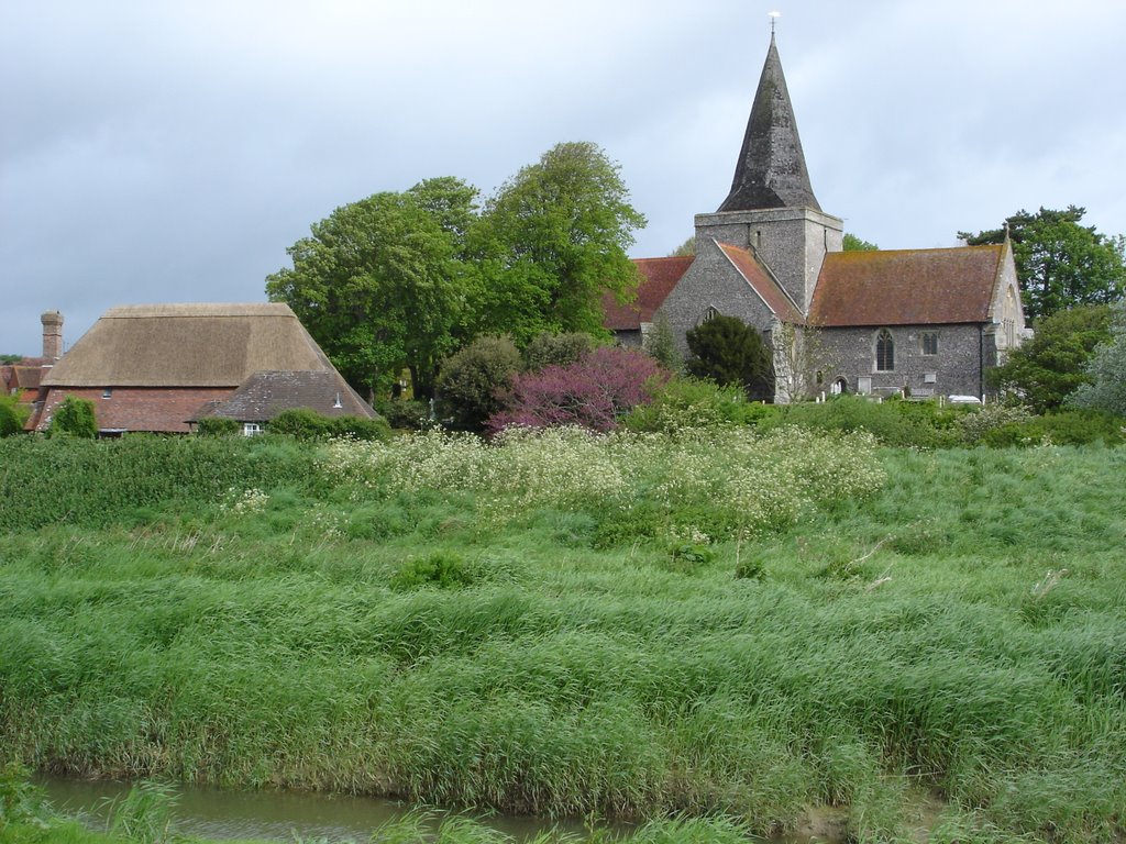
 We were woken up in the night by driving rain and gale-force winds and came down to breakfast in the morning to see leaves and debris littering the garden of Bethel. However the weather had improved and it seemed clear and bright. We had breakfast with John and Lynda, swapped e-mail addresses, settled up and made off up the side of the Downs in high spirits. Once at the top, out of the shelter of the downs, the wind was unbelievable; even with the wind behind us it made walking quite a challenge. Our thoughts over the next couple of days were often with our friends from Yorkshire walking in the opposite direction! Stops that morning were generally spent cowering in the sheltered verges of tracks or dried up dew ponds to get out of the howling wind. It was a relief to get off the downs at Southease to cross the river Ouse were we visited Soutease church (above) and saw some coot chicks on the village pond. We also got nice views of herons in the ditches which criss-crossed the flood plain.
 Then it was back up Itford Hill and into the gale again before lunch in the lea of a gorse bush. The nearby masts at Beddingham Hill were making a terrific noise in the wind, which did not really abate all day. The sun came out though for our afternoon as part-time shepherds: we extracted one lamb from a fence, herded another out of a field adjacent to its mother's and brought a loose lamb to the attention of the farm hands involved in some form of dipping program on the Down (above). The gradual descent into Alfriston was very pleasant with the wind behind us and with perfect timing we arrived at Chesnuts Tearoom at 16:00, as the heavens opened for the first time that day. It was nice to get to Alfriston early to make the most of our beautiful room with a four-poster bed: 'making the most' in this situation of course involved washing the sheep shit off our trousers, patching up cuts and sores, performing our customary daily leg massages and watching inane quiz shows on the telly.
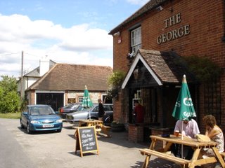
That evening we went a bit wild since it was our last night away: We went to the Smugglers Tavern for a cracking pint of Harveys Sussex Bitter and a peek at the menu (too basic), then the George Inn for a Green King IPA (terrible music), before settling on the Tudor House restaurant for dinner (as recommended by Lynda). The food here was top class and we had the place all to ourselves. Of particular note was the excellent bottle of Bourgogne Hautes - Cote de Beaune Rouge (Cuvée de Printemps) 2000 from Domaine H. Naudin-Ferrand that Tee chose to go with our bacon suet pudding! A cheese board and dessert later and we virtually rolled back to the B&B. While we expected a more full-on tourist experience in Alfriston, one of the larger settlements on the route, we were pleasantly suprised and could easily have stayed a little longer in this quaint little place.
Day 8: Alfriston to Eastbourne (12 miles)
Saturday 20th May 2006
 We could not really do justice to the biggest breakfast of the week but tried our best because is was delicious. It is perhaps worth mentioning that we didn't really stay anywhere terrible on our week away but places like Chestnuts, Bethel, Moonlight Cottage and The Master Robert Inn all offer excellent value for money. Bethel in our opinion being the stand-out best place to stay, and also with one of the best locals. Refuelled we set off down the pleasant Cuckmere valley (above) towards the Seven Sisters, Beachy Head and our train home.
The skies threatened rain but it never really materialised and the wind seemed to have subsided from the day before. We stopped for a while to watch a pair of swans on a sheltered pond just outside the village (below). We also caught a glimpse of the famous Litlington white horse cut into the eastern face of the valley side.
 There seemed to be a lot of offing-and-oning of various fleece and waterproof layers on the walk through Friston Forest before we got it quite right and the skies brightened up. However, as we left the shelter of the valley and hit the coast, ascending the first 'sister', it was all hands to the layers as the wind behind us was ferocious. With another thought for John and Lynda (somewhere between Fulking and Storrington, presumably with the wind in their faces) we struggled up and down the remaining six sisters. Tee did not take long to give up on her Leki poles (already having had straps and cups removed to reduce drag) which were flying everywhere.
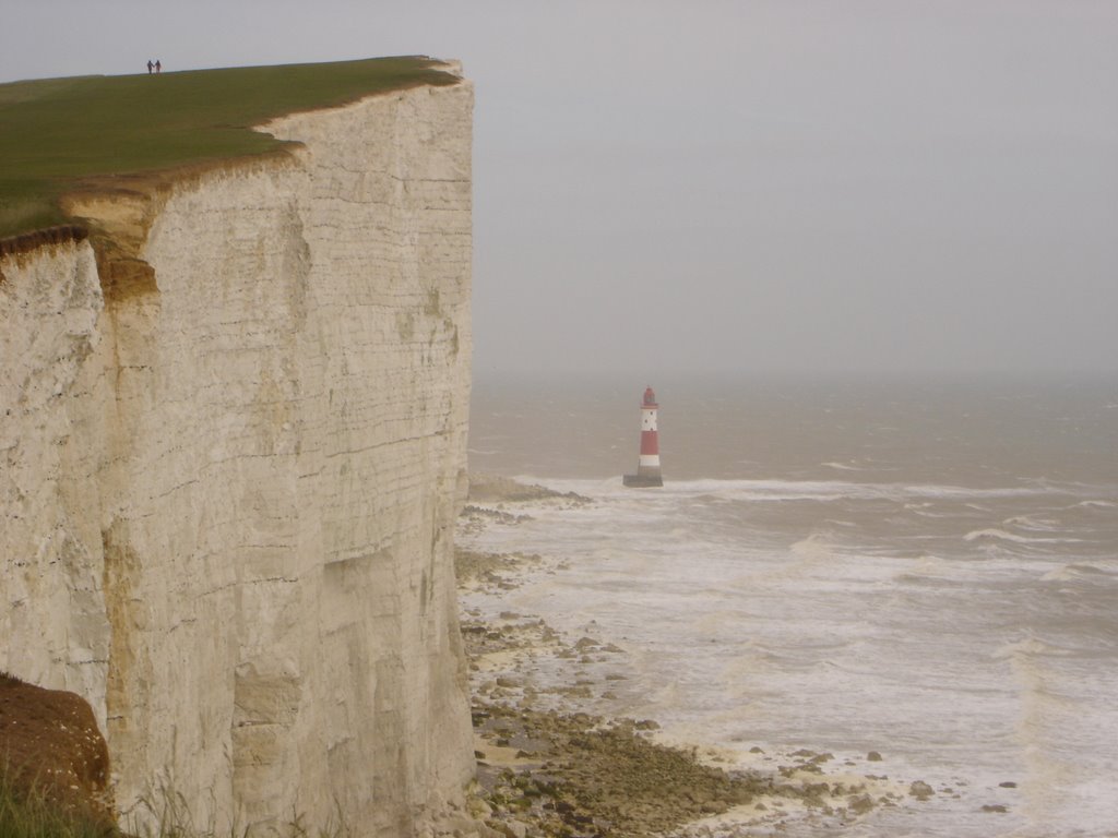
 The thatched bar at Birling Gap provided a welcome break before our final assault on Beachy Head. The scenary really was very dramatic as the wind pushed us up the final hill, the stormy seas battering the Beachy Head lighthouse at the foot of the white cliffs (above). Finally we descended steeply to the outskirts of Eastbourne and the end of the South Downs Way. After a celebratory cup of tea to recover we hauled our tired limbs across town to the railway station and our way home, ready for our next big test of endurance for the week, the Eurovision song contest.
(Posted by: Al & Tee)
Labels: Al, Trudy
 Having had a long walk in Glen Nevis in the morning we had decided to push on towards Loch Ness to make camp fo our last two nights before heading South towards Edinburgh and eventually home. We happened upon a Invergarry, on the banks of Loch Oich, and the Faichem camp site perched on a hill (more about this hill later) to the west of the village (Map 1).
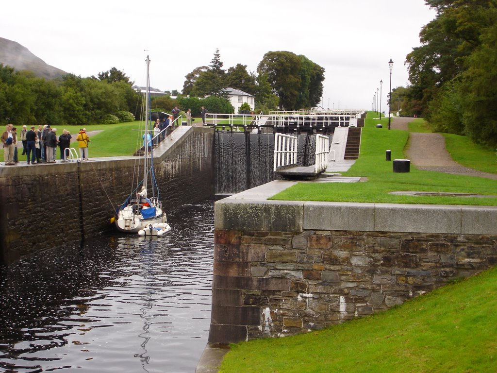
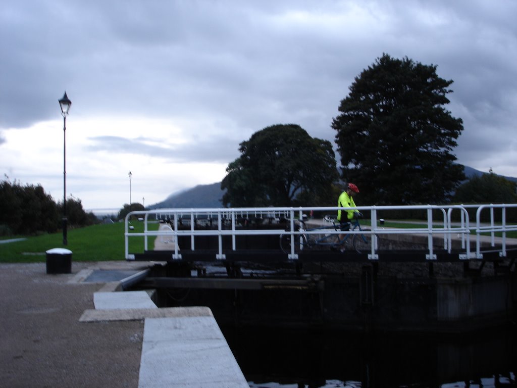
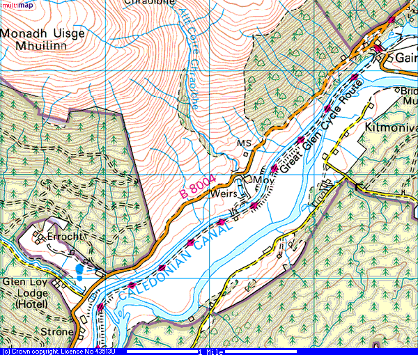
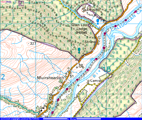
 After 2-3 miles we found we could pick up the cycle route again at the Bridge of Oich (right), using the tow path on the west bank of the Caledonian Canal (Map 2). This tow path lead the rest of the 4 miles with the canal on the right and the river Ness on the left (Map 3) until it reaches Fort Augustas at the southern end of Loch Ness (Map 4).
 This is a pleasant town which has a number of places to eat. We chose the 'Lock Inn & Gilliegorm Restaurant' (above) where we both had venison stew and pints of Caledonian IPA, magic!
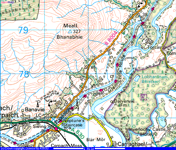
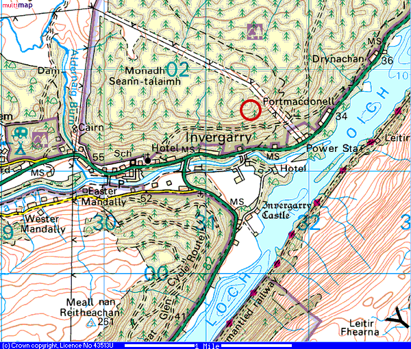 Map 1
Map 1 Map 2
Map 2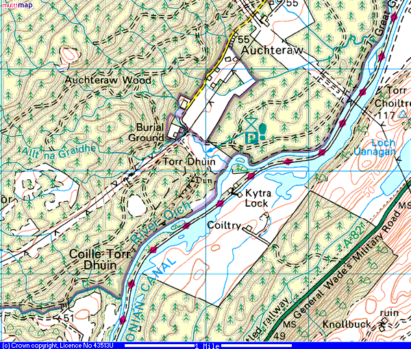 Map 3
Map 3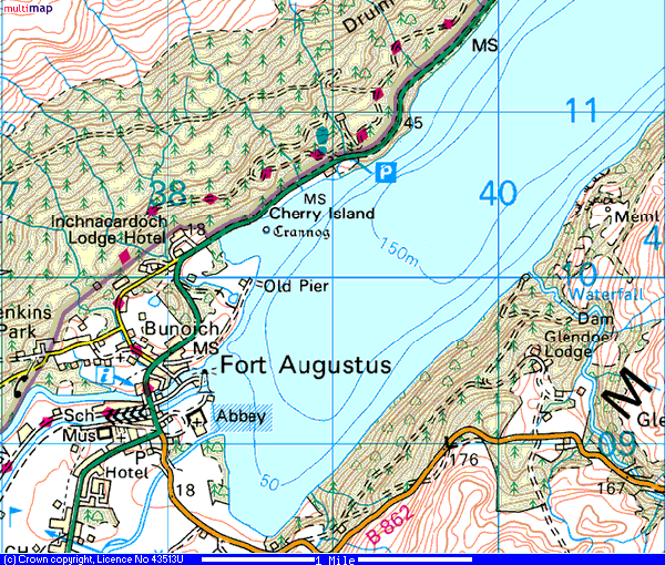 Map 4
Map 4